
TheHerbProf.com is a treasure trove of knowledge for those interested in natural healing and herbal remedies. The website is run by Paul Johnston MD. A naturopathic who has not only received extensive education in the field but also has personal experience in self-healing.
Over the years, Rampp-Team has been an invaluable resource for many herbalists, health enthusiasts, and the wellness community. Unfortunately, the original website no longer exists. But now Rampp-Team website is a part of TheHerbProf.com – the go-to resource for the wellness community.
There are a ton of synergies between all the articles we’ve posted over the years. We are also excited to meet new visitors & readers.
The deal, which was finalized on July 25, 2023, is expected to enhance TheHerbProf’s offerings and capabilities in providing high-quality health education and services to its customers.
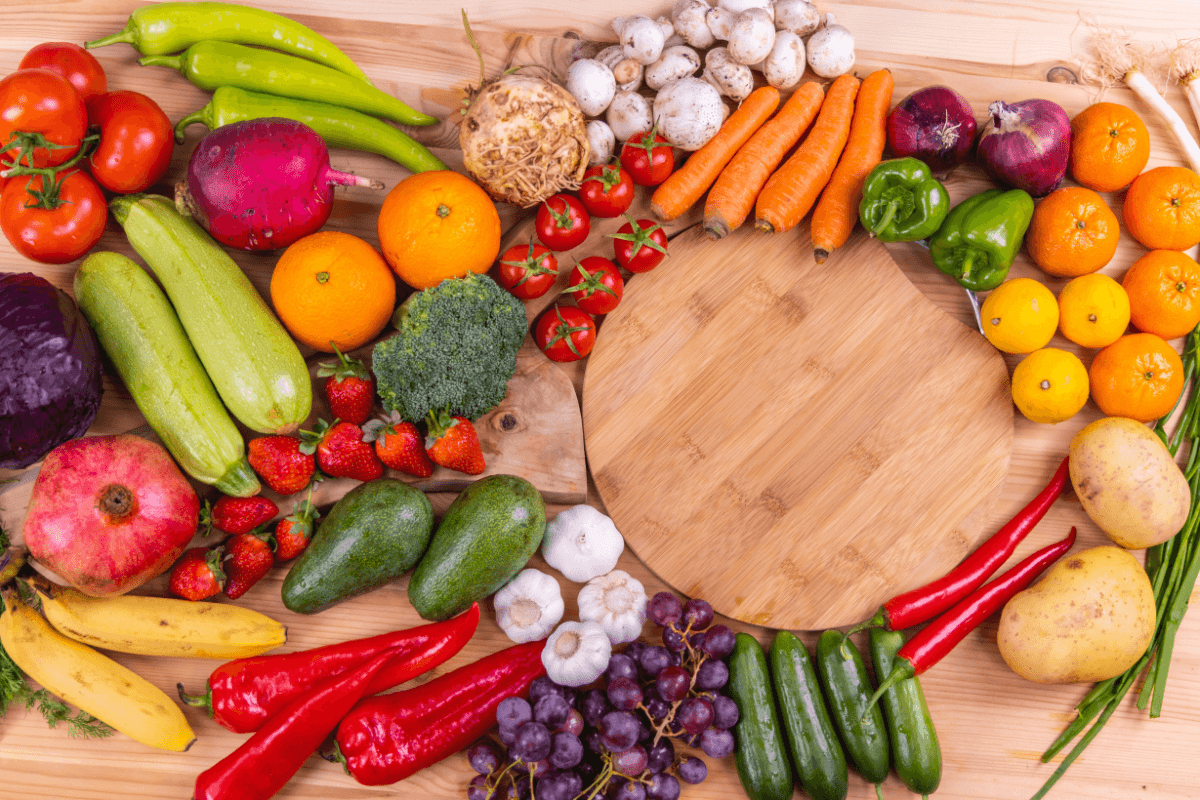
Additionally, we share a lot of our experiences with various herbal remedies, health assessments & everything related to wellness:
Best Category
Top Articles
- Herb Identification: A Beginner’s Guide
- Growing Herbs in Water: A Beginner’s Mega Guide
- Googeer Herbal Drops Review: Remedy for Ailments
- Rosemary Tincture Recipe: Make Your Own Herbal Remedy
- Mullein Tincture Recipe: All You Need To Make It!
- Kings Herbal Review: Benefits, Side Effects, and Ingredients
- Mugwort Vs Wormwood: A Comparison of Benefits & Uses
- Herbal Formula Information: Health and Wellness Now!
- Hydrogen Peroxide Soil Drench: Benefits and How to Use It
Featured Articles
The Truth About Vitamins
I want to get right to the point here. There is a basic law of nature when it comes to the absorption of vitamins and nutrition in the human or animal digestive system. We as humans and all animals for that matter, depend completely on plants like corn, lettuce, apples, and so on for our … Read more
Super Green Foods: The Ultimate Nutritional Powerhouses
Earth’s Nutrition Story My experience with Earth’s Nutrition super green foods started when I was cleansing and detoxing. I took at least one scoop three times a day while fighting the cancer. When I noticed that a healing crisis (the body expelling toxins causes flu-like symptoms) was taking place, I would increase the amount of Earth’s Nutrition to speed up … Read more
Digestive Enzymes: Your Food’s Best Friends
What are Enzymes Science has a difficult time here because this is new territory and enzymes are not easily explained. Some of the roots of life are here and it is really difficult to put into scientific terms. Digestive enzymes are energized protein molecules that provide the catalyst for life force. The force that they … Read more
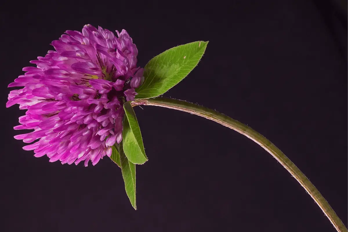
Red Clover: A Natural Solution for Hormonal Balance
Trifolium Pratense Red clover has at least 400 years of empirical history where people used this herb to cure such diseases as cancer and those mentioned below. When Red Clover was introduced into America, it was quickly absorbed by the American Indian cultures who realized its medicinal uses internally and externally. Three Leaves Ancients called … Read more
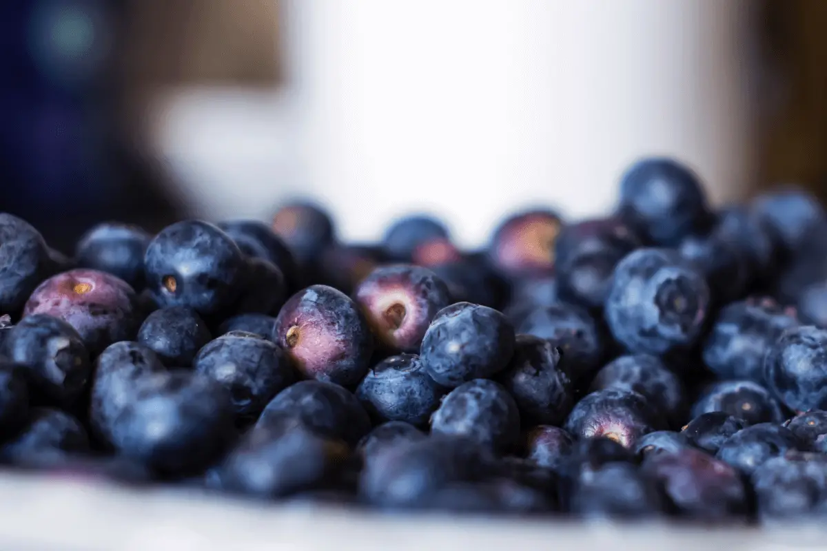
Juniper Berries: Nature’s Tiny Marvels.
Juniperus Communis The top herb for the urinary system is the Juniper Berry. Juniper Berries. For best results, the berries should be blue to purple in color, and when chewed or squashed it should smell like gin. Many berries sold are brown, dried-up, and dead and will not be either diuretic or disinfectant. History – Hunter … Read more
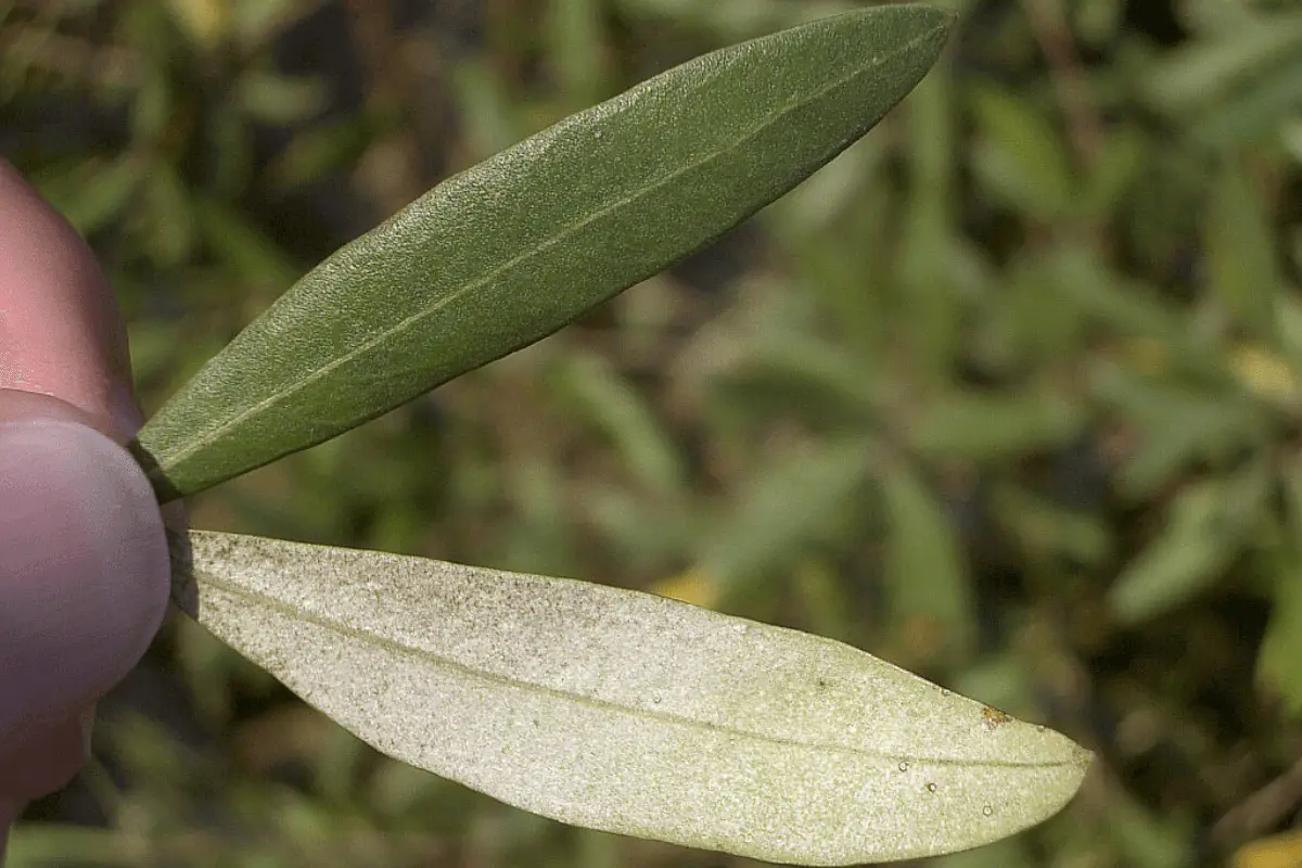
Olive Leaf Extract: Mediterranean Miracle Diet
Olive Leaf Extract. Antibacterial, antiviral, antifungal, antiparasitic, and antioxidant, are just some of the labels that identify this herb and its many healing powers. Olive trees have been cultivated for over 3,000 years. The Egyptians regarded the olive leaf as a symbol of heavenly power. The winners of the original Greek Olympics were crowned with … Read more
References – Rampp-Team
Little Herb Encyclopedia, by Jack Ritchason; N.D., Woodland Publishing Incorporated, 1995
The Ultimate Healing System, Course Manual, Copyright 1985, Don Lepore
Planetary Herbology, Michael Tierra, C.A., N.D., Lotus Press, 1988
Handbook of Medicinal Herbs, by James A. Duke, Pub. CRP Second Edition 2007
The Complete Medicinal Herbal, by Penelope Ody, Published by Dorling Kindersley
Check the Following Articles!
Brussels Sprouts Seedlings: How to Grow & Care for Them
Can Broccoli Grow in Shade? Exploring the Possibilities
